The Strongest El Niño Ever Is Predicted To Happen In 2026. Here’s How It Could Affect Us
Published March 16 2026, 8:26 a.m. ET

Satellite sea surface temperature departure in the Pacific Ocean for October 2015, where darker orange-red colors are above normal temperatures indicative of El Niño
There is a chance that Earth could see a “super El Niño” develop this year, according to experts. It is an unusually intense version of the climate pattern that could potentially rank among the strongest ever observed. If it forms, scientists say it could push global temperatures even higher and drive more extreme weather worldwide. The National Weather Service’s Climate Prediction Center (CPC) recently issued an El Niño watch, saying there is about a 62% chance the Pacific warming pattern will take shape sometime between June and August.
Other forecasts are showing similar signals. Meteorologist Ben Noll noted that models from the European Centre for Medium-Range Weather Forecasts (ECMWF) suggest a very high likelihood of El Niño conditions by late summer, with smaller odds that it could grow into a particularly powerful event. “El Niño's influence varies by location and is linked to how strong it becomes. Changes in location, intensity and frequency of droughts, floods, heat waves and hurricanes are all likely,” he wrote in a post on X.
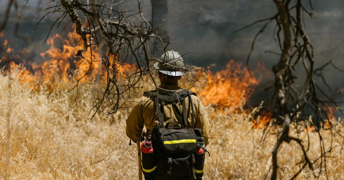
A firefighter standing in front of a wildfire
For centuries, fishermen along the western coast of South America noticed something strange happening every few years. The ocean waters would suddenly warm up, disrupting marine life and wiping out parts of the food chain on which they depended. Since this shift often showed up around December, they named it “El Niño de Navidad,” which roughly translates to “the little boy of Christmas.” The name was a somewhat ironic nod to the birth of Jesus, according to the Independent. Experts now call the phenomenon El Niño. It refers to a major shift in the normal pattern of ocean temperatures and winds across the Pacific Ocean.
A super El Niño is basically the strongest version of the El Niño climate pattern. It is declared when sea surface temperatures across parts of the Pacific Ocean rise around 3.6°F above normal for a sustained period. These events do not happen very often, and have been recorded only three times since the 1950s. However, even a regular El Niño can shake up weather patterns worldwide, but a super El Niño tends to crank those effects way up. It can lead to much bigger swings in weather, including heavy flooding in some places, severe drought in others, and noticeable shifts in storm tracks that affect where rain and storms end up forming.
In the U.S., El Niño does not affect every part in the same way, and it remains unpredictable. However, when a strong El Niño develops, it usually makes the planet warmer overall because extra heat from the Pacific Ocean spreads through the atmosphere. For the western United States, it could mean a hotter summer, making wildfire seasons worse in places like California and Oregon. Meanwhile, the southern U.S. sometimes experiences slightly cooler summers during the event. Winter can also shift.
The West and South often end up wetter than usual, bringing more rain and mountain snow. In some cases, that extra moisture can even help ease drought conditions in parts of the country. “El Niño patterns could bring more rain than normal to the Colorado Basin. The early start to the El Niño can lead to an increase in moisture from the southern Plains to the East Coast during summer and fall,” AccuWeather meteorologist Chat Merrill said.