Lake-Effect Snow Can Cause 3 Inches of Snow to Fall per Hour — Details
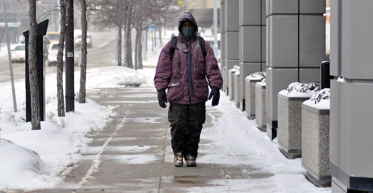
Lake-effect snow can cause major hazards thanks to its sudden changes in conditions.
Updated Dec. 4 2024, 3:03 p.m. ET

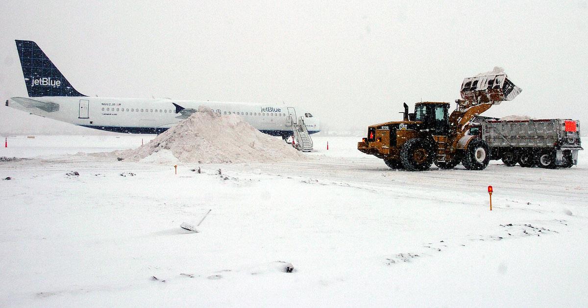
Thanks to the growing effects of climate change, it seems like earlier and earlier during the year weather apps are announcing "whiteouts" or "winter weather advisories." Most notably, when meteorologists begin using phrases like "lake-effect snow," people start to worry they're getting disastrous levels of blizzard, like Buffalo, New York, did in 2014.
So, what is lake-effect snow? Where does it usually fall, and what do you need to be concerned about if you live in one of those areas? Keep reading for everything you need to know.
What is lake effect snow?
According to the National Weather Service, lake effect snow is most common across the Great Lakes region of the U.S. during fall and winter. Essentially, when cold air (typically from Canada) passes over the warm air of the Great Lakes, the warmth and moisture go to the lowest part of the atmosphere. Then, air rises, clouds form, and this narrow band of clouds produces 2 to 3 inches of snow per hour.
The locations where lake effect snow typically occur include places like "Buffalo, Watertown and Syracuse, New York; Cleveland; Erie, Pennsylvania; Grand Rapids, Michigan; and South Bend, Indiana," per AccuWeather. But, technically, lake effect snow can occur anywhere there's a large amount of warm water colliding with cold air.
AccuWeather Snow Expert Grady Gilman explained why lake effect snow is so dangerous: "Lake-effect snow can be extremely dangerous due to the intensity of snow it can produces, where upwards of 6 inches an hour can happen, but also due to the sudden changes in conditions a shifting lake-effect snow band can cause from even the subtlest change in wind direction."
He added, "One location can have zero visibility and total white-out conditions while a few miles down the road it is partly sunny. In a matter of miles, a traveler can go from blue skies and visibility to the horizon to blizzardlike conditions with near-zero visibility."
What is the "Alberta clipper" storm?
Per NBC News, nearly 19 million people are under winter alerts in December 2024 for "quick bursts of snow, strong winds, and blizzard conditions."
The reason for the winter alerts lies with a clipper storm, also known as an "Alberta clipper," so named for a storm system from Central Canada that drops cold and snow on the U.S., per the National Weather Service.
Unfortunately, citizens can experience lake-effect snow on top of clipper storms, so people living in areas such as around Lake Erie, Lake Ontario, and even as far south as New York City might be in for chilly conditions.
According to NBC News, residents of cities like Chicago, Philadelphia, New York City, and Washington D.C. have wind alerts in place that may also lead to power outages. Keep warm out there and don't forget to bundle up!