An Uncharted Island Is About to Be Added to Nautical Maps for the First Time
The island was previously just listed as part of a danger zone.
Published April 14 2026, 2:49 p.m. ET

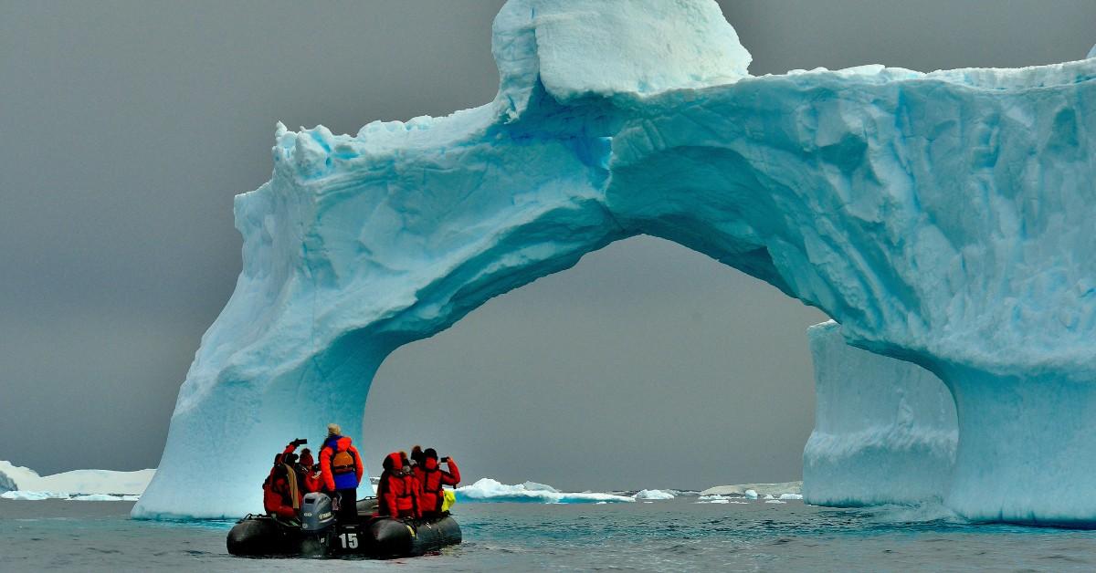
Just when we think that we've finally discovered all there is to see on this planet, someone finds something new and exciting. In this case, it's a previously uncharted island in the Weddell Sea in the Antarctic.
A crew accidentally found the island while trying to get away from bad weather during a research mission, as they entered into an area that had previously been marked off-limits due to dangerous conditions. However, the researchers found something else when they arrived.
While the initial discovery of the Antarctic island must've been a shock at first, it sounds like the new island is finally going to get some recognition, and it will be added to new nautical maps as they are produced.
This is an exciting day for anyone who finds this sort of stuff fascinating, especially because it's possible that the island had previously been disregarded as an iceberg instead of a landmass. Keep reading to learn more about the uncharted Antarctic island.
Researchers discovered a previously uncharted island in the Antarctic.
Moving forward, nautical charts and maps will have a new spot on them in the northwestern Weddell Sea, according to the journal Phys. That's thanks to researchers from the Alfred Wegener Institute who were trying to escape some bad weather while on the institute's icebreaker, Polarstern.
However, as the team headed back towards Joinville Island, they were shocked to find an island in front of them. When consulting the maps, they noted that the area had previously been marked as a danger zone.
However, once they got closer, they realized that it was a chunk of rock. One of the researchers from the institute then took it upon himself to carefully survey the coastline, ensuring that he kept the Polarstern far enough away to keep the ship safe. After surveying the seabed and using a drone to take images and collect data about the island, they were able to determine that the island was roughly 426 feet long, 164 feet wide, and 52 feet tall.
However, the researcher said there was one thing he couldn't figure out, and that was why the island was about a mile away from the danger zone marked on the map, and why the region was noted as being dangerous to begin with.
Of course, the location and size of the island made it hard to differentiate from the surrounding icebergs and glaciers to begin with, which could've been one of the reasons why the region was marked as a hazard in the first place.
The island will be added to maps and given a name.
While the researcher took care of a lot of the legwork for experts, there are still a few more things that have to be done. First, the island will need to be given a name. Once the island has its new moniker, it will be officially charted on nautical maps, giving others the exact coordinates of the find.
While that will be important information for those who travel through the region to have, it's unlikely that the island will be welcoming curious tourists anytime soon.