New Antarctic Map Reveals Hidden World with Stunning Topography Beneath the Icy Landscape
Published Jan. 16 2026, 2:58 a.m. ET

A mysterious world hidden in the Southern Ocean underneath the ice sheet of Antarctica
Zooming in from the stretches of cosmic dark matter, a vast chunk of our own planet remains untouched. On the far, southernmost point of Earth, the icy kingdom of Antarctica basks in the winds of mystery. On the surface, expansive sheets of ice blanket the continent, glistening like oceans of pearls. But beneath their muted expression, they hide enigmatic stories from the past. Beneath the snowy white façade lurks a roaring morass of forgotten worlds and sights left abandoned by time. In a new study published in the journal Science, scientists utilized satellite imagery, like photographic negatives, to decode the mysterious mathematical relationship between the ice sheet and the underlying bedrock.
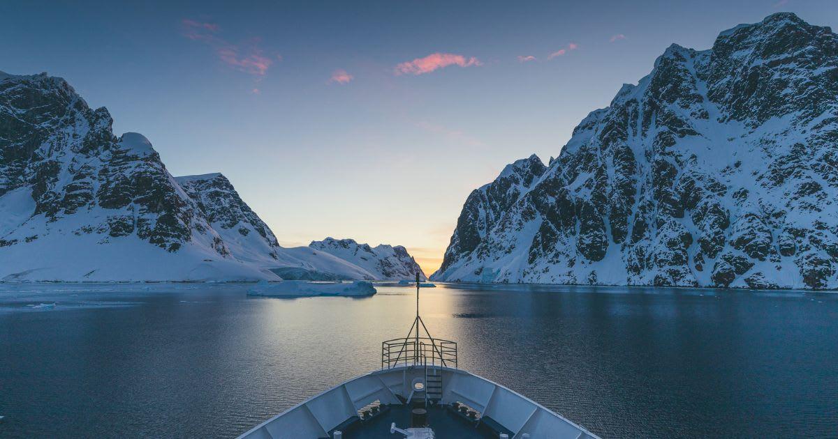
Gorgeous landscape of Antarctica with an icy river flanked by snow-dusted mountains
Sweeping across a whopping 5.4 million square miles, the largest ice sheet in Antarctica obscures a fascinating landscape, a forgotten world entombed and frozen in time. A rugged landscape undulating with U-shaped glacial valleys, mountains, plains, ancient rivers, prehistoric ice, basins, lakes, ridges, canyons, channels, tracks; an enigmatic bed of geological features concealed in the topographic underbelly.
To unveil what’s hidden underneath, scientists exploited high-resolution satellite data. The images enabled them to strip away layers of ice and gaze right into the geometry of the bedrock and the physics of ice flow. “It’s like before you had a grainy pixel film camera and now you’ve got a properly zoomed-in digital image of what's really going on," lead author Dr. Helen Ockenden, a researcher at the University of Grenoble-Alpes, told BBC News.
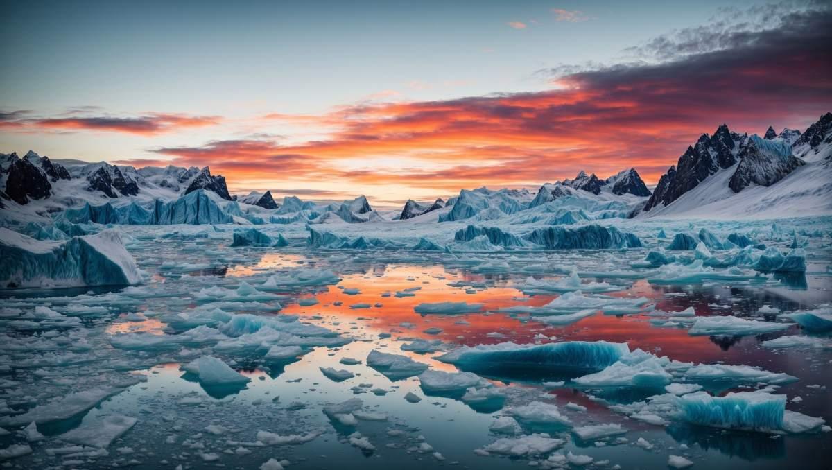
Melting ice cap in Antarctica due to climate change
Researchers likened the research to kayaking in a river. The eddies swirling above the river tell scientists about the rocks sitting at the bottom of the river. Like sharp-brained detectives, scientists weren’t lured by the pristine perfection of the ice sheets they were examining. They knew something mysterious skulked below, and they had to unravel it. Like peeling the layers of a flat icy onion, they used a snazzy toolkit to peel away the layers under the ice sheet and extract information about the geometry and position of the interior landscape hiding down there.
Apart from satellite imagery that they used to create maps of Earth’s ocean basins, their toolkit included airborne expeditions that revealed the thickness of ice sheets. Contributions were also taken from ice-penetrating radars to derive radio echoes from the bottom of the ice sheet, revealing as many as 82 million data points. These radars were organized through the Bedmap3 project. Additionally, magnetotelluric methods helped the team measure electrical resistivity that they utilized to map subsurface fluids. Seismic methods came into play, too. These methods usually work by using sound waves to image the subsurface strength, also providing invaluable information on the bedrock and its properties.

Satellite hovering above Earth recording details of its icy continents
The information will be put to use for projecting ice sheet evolution and for understanding the history of Antarctica’s ice sheets, as well as for future predictions of ice sheet modelling. Computer models will continue to advance. Researchers aren’t sure whether the methods will provide information to 100% accuracy as a simple interpolation often misses important valleys in the bed that can influence the ice flow channel. Slight perturbations in the bedrock, too, often go unnoticed. To resolve this dilemma, they designed mass conservation methods like obtaining a balance between snowfall and ice flow to create maps of ice surface flow. Also, the automated BedMachine project will be used as a mass-conservation method to examine fast-flowing glaciers that drain from a large ice mass through a valley.
Uncovering this huge reservoir of information about the lost worlds buried in Antarctic ice, scientists are obviously excited, as glaciologist Robert Bingham also exclaimed. "I think that's amazing."