Satellites Just Uncovered a Global Flood Threat That Puts 236 Million People's Lives in Risk
Updated Jan. 15 2026, 9:39 a.m. ET

Fishermen in the morning at the Mekong Delta
Fresh water, food sources, and fertile land drew humans to build settlements on the river deltas. Gradually, the areas became some of the most habitable lands, attracting a large population. Today, the river deltas are suffering, shrinking more rapidly, and sea levels are rising. According to recent research published in the journal Nature, the populations on the river delta are threatened by coastal flooding. The signs of potential devastation have already begun to show through saltwater invasion, infrastructure damage, and erosion. The study claims that a flood might occur sooner rather than later, potentially affecting over 236 million people. The flood-risk can cause much more damage than destroying infrastructure and posing a threat to people's lives. It can also create issues for global food security.
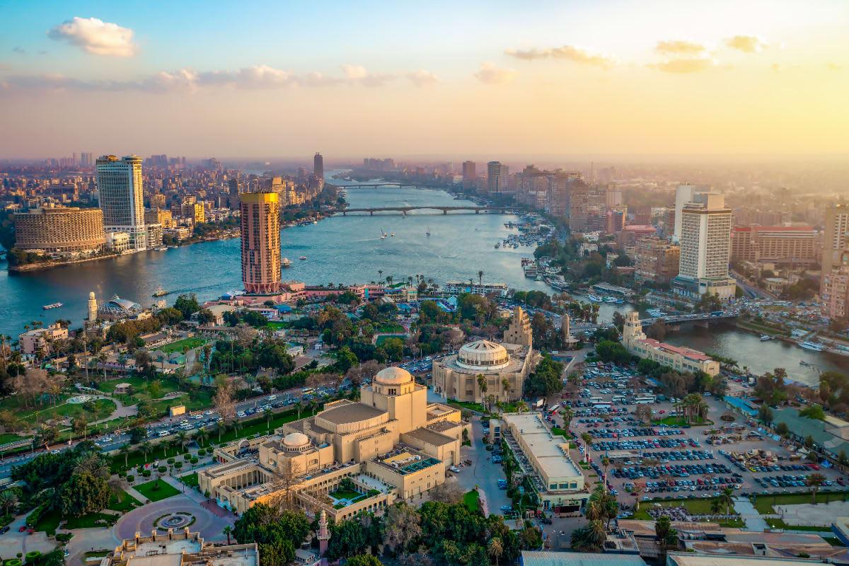
Infrastructure built on the Nile River Delta.
"Billions of people rely on the food that is produced from these deltas," co-author and Virginia Tech geoscience professor Manoochehr Shirzaei told Gizmodo. Researchers used satellite data to detect surface-elevation changes across 40 different deltas worldwide. Using the powerful InSAR (Interferometric Synthetic Aperture Radar), they focused on three anthropogenic drivers causing elevation changes in the deltas and mapped changes over a period of time. The study, led by Leonard Ohenhen, a former Virginia Tech graduate student and an assistant professor at the University of California, found that in at least 10 of the 40 deltas, groundwater storage is the major reason behind vertical land motion or the shrinking of delta lands.
"In many places, groundwater extraction, sediment starvation, and rapid urbanization are causing land to sink much faster than previously recognized," Ohenhen said. River deltas, including the Mekong, Nile, Chao Phraya, Ganges–Brahmaputra, Mississippi, and Yellow River systems, were all observed to have a high rate of vertical land motion. "Our results show that subsidence isn't a distant future problem — it is happening now, at scales that exceed climate-driven sea-level rise in many deltas," added Shirzaei. However, unlike sea-level rise, land subsidence can be brought under control with proper measures. It's because water level rise is solely regulated by environmental factors, whereas land subsidence depends on human activities.
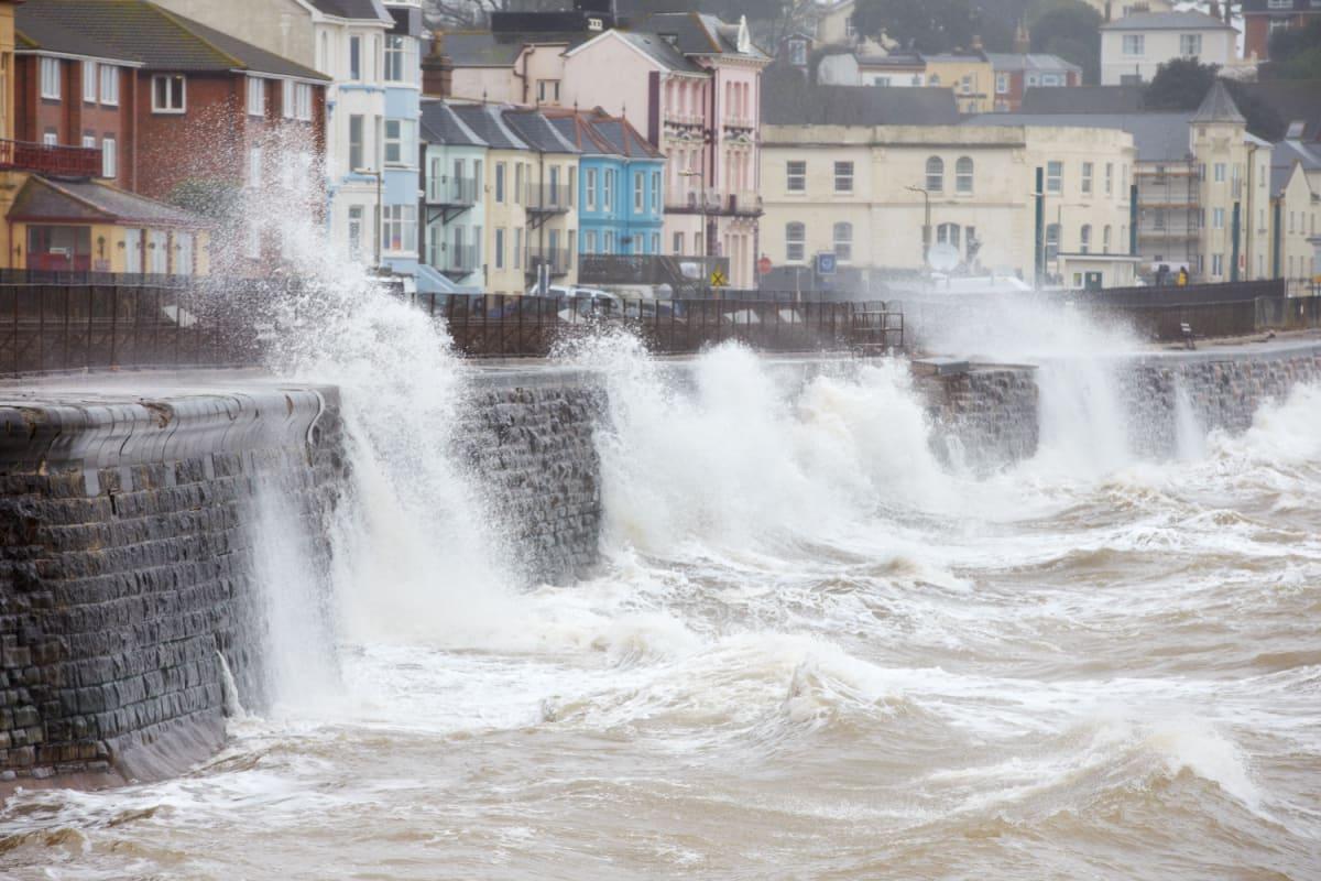
Image depicting coastal flooding.
"When groundwater is over-pumped, or sediments fail to reach the coast, the land surface drops. These processes are directly linked to human decisions, which means the solutions also lie within our control," said Susanna Werth, who co-led the groundwater analysis. Shirzaei confirmed that the team already has an effective "engineering solution" to address the issue. Managed aquifer recharge can be used to pump water under depleted land, lift the surface, and recharge the underground water supply. That being said, there is scope for more research that would reveal intricate infrastructure details, allowing researchers to make an informed decision. Each river delta might have different factors influencing land subsidence, which still needs to be explored.
Shirzaei hopes that researchers' efforts will lead to data mapping land subsidence across the entire world. "This is possible," he affirmed. "The satellite data that we use are publicly available data, we don't pay for it, and we have the technology to process the data and turn them into such useful measurements at [high] precision and accuracy. The only thing we need is real investment," he explained. Shirzaei believes that such crucial data should not be confined to the researchers but made accessible to the public, claiming everybody has the "right" to the information.