A Massive Tsunami Swept the Pacific — And NASA's Satellite Mapped the Giant Wave's Geometry
Published Dec. 2 2025, 7:59 a.m. ET

A lady with an umbrella protects herself from a giant wave.
On July 30 this year, a monstrous tsunami launched from the waters of Russia's Kuril-Kamchatka Peninsula. As the ocean moved up and down, it sent jitters flitting through the atmosphere with a train of waves that rolled, danced, and spread across the peninsula, following an 8.8-magnitude earthquake that shook the town at about 23:47 UTC. To understand how the various elements of a wave’s geometry influence tsunamis’ dynamics, scientists published a study in GeoScienceWorld’s The Seismic Record, also documenting the details of a 75-mile swatch across the Northwest Pacific that they captured from space.

Giant tsunami wave breaking at the beach on sunset
The earthquake occurred 70 minutes before the tsunami struck. Scientists say this is the sixth-largest earthquake ever recorded globally since 1900, with wave heights exceeding 1.5 feet, equivalent to the height of a coffee table or a school blackboard. The objective of this study was to analyze the rupture geometry, rupture styles, depths, and heights of the waves to understand how they governed tsunamis’ severity and hydrodynamics. Waves extending from the seafloor to the ocean surface can become much larger when they reach shallower coastal regions. The entire trail of waves is a fascinating geological capsule to decipher the various mysteries of the tsunami.
It became possible to conduct this study thanks to SWOT (Surface Water and Ocean Topography), a satellite system collectively designed by NASA and a French space agency. SWOT, this decorated system features a constellation of satellites that spin and hover around Earth, keeping an eye on its blue pieces, and collecting data that would provide information about its waters. Data from satellites was coupled with three nearby deep‐ocean assessment and reporting of tsunamis (DART) buoys to analyze the source of the event. These tsunami monitoring stations are equipped with seafloor bottom pressure recorders and surface buoys that calculate the water column pressure, tsunami source, waveform diversion, and other tsunami-related measurements.
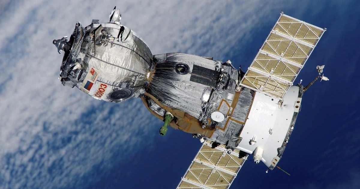
A satellite in space
Satellite orbiting planet Earth (Representative Image Source: Pexels | Pixabay)
For this tsunami that rolled through the Pacific on July 30, scientists had predicted a non-dispersive physics at work. Non-dispersive waves, typically, move in constant shapes at stable speeds across distances. This waveform, however, appeared to be changing heights, amplitudes, and spacings as it moved. Followed by a trail of waves, a wave moving north of 50 degrees split into multiple pulses after interacting with the steep bathymetry of the trench and adjacent slopes.
NASA’s SWOT system plotted the images of the storm against a tsunami forecast model from the NOAA. The study demonstrated that even tsunamis generated by very large earthquakes can contain a rich spectrum of “wave energy,” some of which can meaningfully influence coastal waveforms.
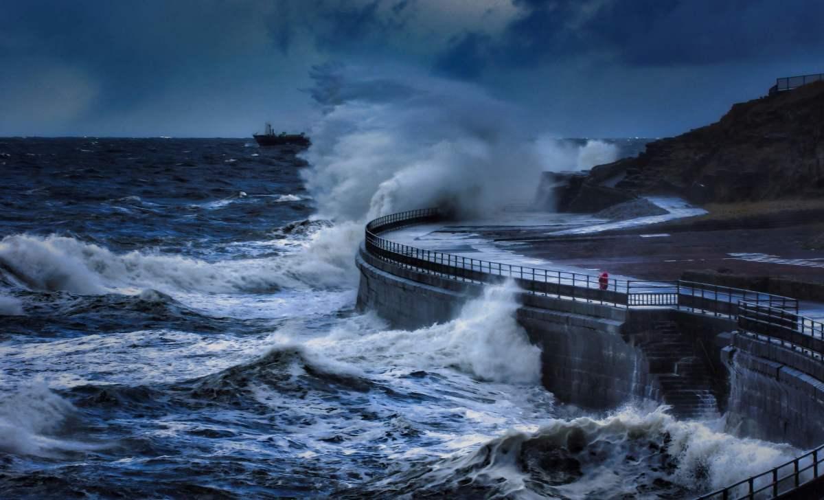
Ocean waves crash on the concrete wall during a tsunami.
Thanks to SWOT, researchers found a fresh, advanced way to assess the waveforms. Lead author Ruiz Angulo from the University of Iceland said having SWOT is like having a new pair of glasses. The patterns that were earlier invisible to the eye are now visible with perfect clarity, per Earth.com. Earlier, Angulo described, there were only the DART systems, which captured the tsunami’s details only at isolated points. With the introduction of SWOT, the level at which data is accessible is simply terrific.
Beyond traditional altimeters, which can measure only a thin line beneath the spacecrafts with limited views of tsunamis, this instrument provides a dense spatial coverage, as The Watchers also noted in an article. Together with basic data, the seismic records and geodetic deformation give a more faithful picture of the source and evolution of the tsunami. This earthquake also reactivated some ruptures of the 1952 earthquake. Ultimately, the study opens up doorways into the discovery of new hazard models and how rupture style and depth influence a tsunami’s geometrical dance.