Scientists Studied U.S. Dams from Space and Noticed Something Rather Unsettling
Published Feb. 3 2026, 9:18 a.m. ET

Two construction workers inspecting a dam.
A catastrophe might be in the making as dozens of dams across the U.S. are sinking faster than usual. Satellite data was used by the Virginia Tech research team to analyze the impending challenges if the "problem" with the dams is ignored for too long. “And the current observation may suggest that some of those dams are experiencing some problem,” said Manoochehr Shirzaei, a professor of environmental security at Virginia Tech, who was part of the research, as per WVTF. He revealed that dams tend to sink into the ground by some measure every year, but the recent study observed some dams sinking at a faster rate than others. According to the findings presented at the annual meeting of the American Geophysical Union in December last year, over 16,700 dams are considered "high hazard."
It implies that if these dams were destroyed, the damage would be catastrophic. The research analyzed 41 dams across the country, including dams in North Carolina, Texas, Puerto Rico, New York, Washington, Vermont, Oregon, Minnesota, Alabama, Georgia, Maine, Michigan, and California. Livingston Dam, a 2.5-mile-long concrete dam structure about 70 miles north of Houston, was among the dams studied in the research. Through observations of the satellite image, the dam was found to be sinking roughly at a rate of 0.31 inches per year. Geophysicist Mohammad Khorram, who presented the paper at the annual meeting, confirmed that the dam sits on an unstable structure, making it prone to destruction. The potential demolition of dams like Livingston can cause large-scale floods and have a major impact on the country's economy. In the worst-case scenario, it could even cost people their lives.
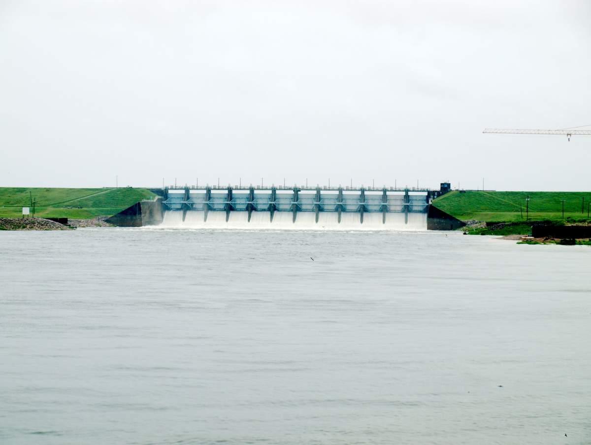
Lake Livingston dam captured during flooding.
"Some of those dams are used to produce electricity and also provide water for agricultural activities," Shirzaei said, highlighting its significance. “I want to highlight, there is no reason to panic at this moment,” he assured. However, the researcher insisted that operators and policymakers pay attention to the findings and take imperative steps like regular testing and maintenance to avoid the catastrophic scenario. The recent research should be taken seriously, given that factors like extreme weather conditions are additional stressors on these dams. “What we think and what we believe is going to happen is due to this weather extremes that are exasperated by climate change, we have additional stress applied to these dams,” Shirzaei said. “And how these dams would perform under those new stressors is something that we want to study,” he added.
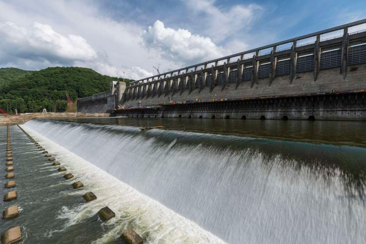
Bluestone Dam in West Virginia, one of the dams the researchers studied.
David F. Muñoz, an assistant professor of civil engineering at Virginia Tech who wasn't involved in the study, revealed that learning the rate of land subsidence—the slow sinkage of land—and its impact on dams will be crucial in determining the threat downstream populations might be exposed to. Moreover, issues like dam failures or destruction can have a significant impact on their surroundings. Hence, having the necessary data will help facilitate future research efficiently. A Washington Post investigation reported that the atmospheric vapor reached a record-level high in 2025, paving the way for extreme rainfall. The researchers used Interferometric Synthetic Aperture Radar (InSAR) to detect the structural integrity of “high hazard potential" dams.
John Roche, a dam regulator in Maryland and ASDSO president, revealed that the data was “absolutely helpful as a first tool" for further research. “Just a visual, hands-on inspection of your dam is not necessarily sufficient to understand the full health of the dam and underlying risks,” Roche added.