Satellite Images Reveal an 80-Mile Crack Growing Across the Ice on Lake Erie
Published Feb. 23 2026, 9:59 a.m. ET

Ice mounds form along the shoreline of Lake Erie February 4, 2026.
Recent events on Lake Erie have stunned scientists. An 80-mile-long crack appears to have formed on the ice-covered Lake Erie. The National Oceanic and Atmospheric Administration (NOAA) has captured the crack in all its glory through its satellites. This crack stretches from Port Burwell, Ontario, to Cleveland. The crack is drawing worldwide attention due to the risks it poses to visitors. The extent of such cracks is difficult to gauge by human eyes, and therefore, people attempting to cross it may not realize how dangerous it is until it is too late.
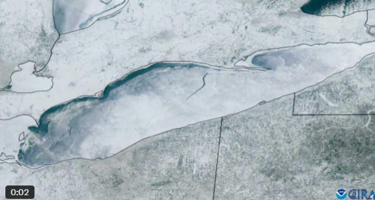
Crack captured by Satellite
The image shared by NOAA proves that even if a lake looks completely ice-covered, winds and moving water underneath the sheet can facilitate huge fissures, according to The Detroit News. Readings undertaken by NOAA’s Great Lakes Environmental Research Laboratory in early February suggested that the lake was 95.3% covered in ice. It later grew to 95.4%. As per NOAA data dating back to 1973, Lake Erie is typically 54.4% covered by ice on February 2 every year. This implies that the lake has experienced an abnormally high ice cover this year.
The exceptional quantity of ice cover makes it crucial to keep an eye on changes within it. This is because the freeze events end up having a major say on regional weather. A high quantity of ice cover could end up reducing lake-effect snow in surrounding areas. Since these cracks are not easy to spot by human eyes, most of the time updates about them come from satellite images or other sources. Researchers have requested that civilians provide whatever information they gather about the crack or lake to authorities. In this way, prospective tourists and visitors will have a better idea of how to cross the site.
The crack on Lake Erie seems to be a consequence of strong northerly winds and varying temperatures, according to The Inn at Stonecliff. Both these factors aided the pressure ridges, tearing apart the lake's frozen crust. This crack developed after a period of intense cold and some thawing. The crack is a reflection of how quickly dynamics can change in Lake Erie. Therefore, visitors need to consult satellite data and local advisories before arriving at the site. Even if the ice coverage is high, it does not mean that it is fully safe. Walking, driving and snowmobiling remain unsafe activities that need assistance.
As soon as the information about the crack was made public, the National Weather Service (NWS) and Canadian Coast Guard issued warnings to people visiting the site. Organizations requested individuals to avoid risky behavior at all costs. If people want to see ice formations, they must do so at a safe distance from coastal parks or elevated viewpoints. Experts added that the high ice coverage could slow down evaporation and also reduce snow production. Researchers have noted that the recent freeze has resulted in some cold and clear days.
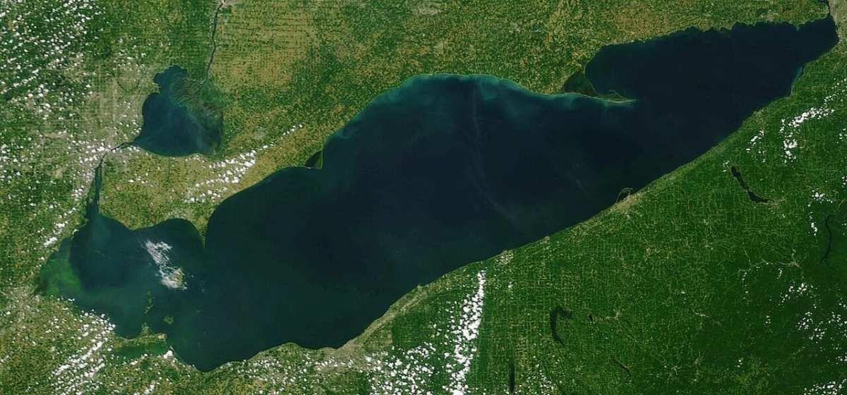
NOAA Great Lakes satellite imagery of Lake Erie on July 2023.
It is vital to pay attention to the warnings of these cracks, as similar features have caused accidents in the past. More than half a dozen tourists died after their bus fell into a similar crack on a frozen section of Lake Baikal in Siberia this month, according to The Metro. “Divers recovered the bodies of the victims from the site where a car carrying tourists fell through the ice. We now know for certain that they are the driver and seven Chinese citizens. I once again express my deepest condolences to the families and friends of the victims,” Igor Kobzev, the governor of Irkutsk region, shared.