Visiting Yellowstone Soon? A Major Winter Storm Could Disrupt Your Travel Plans
Published Dec. 9 2025, 4:36 a.m. ET

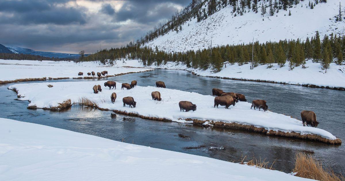
A person observing the scenic winter landscape of Yellowstone National Park.
The Greater Yellowstone region is expected to experience heavy snowfall this week. Yellowstone National Park could accumulate up to two feet of snow in the next few days. The National Weather Service (NWS) has issued a Winter Storm Warning for nearby residents and visitors across multiple mountain zones. The places that are expected to see high levels of snow include the Absaroka/Beartooth Mountains and southwestern Yellowstone National Park. These places are predicted to experience the heaviest snowfall from this winter storm system. The northern part of the national park is expected to see less snowfall and accumulation in comparison. Strong gusts of winter winds, as high as 60 to 70 mph, will flow across the ridgetops and heavily contribute to snow accumulation in the west-facing slopes.
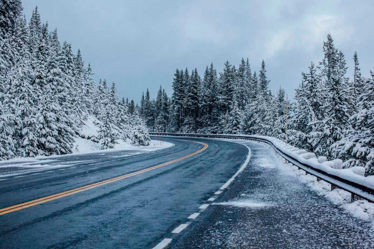
Road covered in snow during winter at Yellowstone
Powerful winds combined with heavy snowfall can blow a significant amount of snow in a single direction. The highest elevations are especially prone to heavy snowfall and potential whiteout conditions. The heavy blowing and drifting of snow will hinder the recreational aspect of the national park. For those planning an excursion in Yellowstone, delaying the plan would be the best option. If canceling or delaying is not an option, be prepared for the extreme weather you may encounter. Travelling across the Yellowstone and along the Chief Joseph Highway will become difficult. One should try to avoid backcountry travel.
If traveling is a must, NWS advises being prepared and keeping necessary resources handy. "If you must travel, keep an extra flashlight, food, and water in your vehicle in case of an emergency," says the agency. Avoid traveling through the southwestern territories of the park as the snow will accumulate up to unmanageable heights. Northern Yellowstone may see a slightly lighter amount of snow accumulation, between 6 and 10 inches, but that doesn't give tourists the green signal to travel. The visibility may still be compromised because of the snow blowing, which can potentially cause accidents.
A scenic view of Yellowstone National Park in the winter
A powerful atmospheric river will impact the Pacific Northwest and Northern Rockies over the next three to five days, as per KBZK News. Heavy rain, heavy wet high mountain snow, and powerful peak wind gusts will follow. This has prompted widespread winter weather alerts, including a High Wind Warning for central and eastern Montana and the Ennis area, along with Livingston. The areas could face strong gusts of wind, about 60 mph. Livingston may experience a slightly more powerful force of winter winds, travelling at more than 70 mph.
Another weather alert issued for the upcoming days includes the Flood Watch issued by the NWS for northwest Montana and central Idaho. The rainfall (moderate to heavy) could cause massive snowmelt, increasing the risk of floods along streams, creeks, and roadways. Despite the winter hazards, the temperature is predicted to remain unusually warm in the next week, running 10+ degrees above normal. Morning lows are expected to be about 15 to 25 degrees warmer than usual.