Scientists Just Mapped America's Groundwater and Found Enough to Fill the Great Lakes 13 Times Over
Published Jan. 27 2026, 7:01 a.m. ET

Combining direct measurements with artificial intelligence methods, a new map estimates groundwater depth across the contiguous United States at a resolution of around 98 feet.
“Given all the things we do know about the planet, we don’t actually know how much water we have.” This is the dilemma that prompted Reed Maxwell and his fellow scientists to comb the terrains and depressions of America to gather clues. Maxwell believes that the water that collects from rainfall or snowmelt is the checking account for the planet, but the savings account where the bulk is stored is the groundwater. Ever since humans materialized on Earth, they have been pumping water for anything and everything from this copious supply. Sometimes, they puncture the ground and blast sharp-toothed drills into its underbelly, digging out water for everything from cooking soups to washing their balconies and mining gold. Meanwhile, the drizzles plopping down from rain and snow seep into the spongy pores of fractured rocks, sand, and gravel, quietly accumulating in the supply.

An expert conducting water quality testing.
But scientists had little to no idea how much water is actually there, down below. In new research published in Communications Earth & Environment and EOS, scientists from Princeton University’s Engineering Department and the University of Arizona created a map plotted with 1 million data points, which illustrates a profusion of details about the groundwater storehouse. By studying the contrasts of rainfall and evaporation, groundwater pumping and depletion, the team aims to develop ways to deal with contamination and water scarcity.
This, the researchers said, is the “first large-scale, hyper-resolution groundwater model that uses actual observations of groundwater.” And although there have been many studies conducted on this subject before, this is the first one that combines direct measurements with artificial intelligence and machine learning models. The new map estimates the depth of groundwater across the continental US at a crisp resolution of 98 feet.
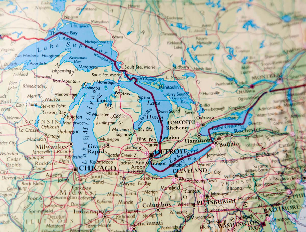
Great Lakes area
From the data, they estimated approximately 306,000 cubic kilometers, or 73,400 cubic miles, of water sloshing in the deep, which is equivalent to more than 13 times the volume of all the Great Lakes combined. All thanks to technology. AI especially.
To collect the groundwater depth data, researchers utilized information from the United States Geological Survey groundwater monitoring wells and from earlier studies as well, with measurements ranging from 1895 to 2023. They divided the messy morass of continental America into a grid of more than 8 billion squares, each measuring 98 feet on each side. For each square, they estimated groundwater depth. Combining this depth with estimates of rock and sediment porosity enabled the team to calculate the volume.

Three scientists in a laboratory
Then unfolded the magic of AI and machine learning. Scientists created a machine learning method called random forest to design models that would calculate the uncertainty of the groundwater depth at a given location. For each location, the method used 300 decision trees, each tree trained to solve the same problem. By meticulously studying the variations in this forest of decision trees, they got the idea of “underlying uncertainty” in groundwater.
The team mentioned that this model helped them obtain measurements 1,000 times better than those provided by physics-based models. Lead author Yueling Ma, a research fellow at Forschungszentrum Jülich in Germany, shared that the new approach also cuts down significant computing power as compared to traditional approaches. Meanwhile, co-author Laura Condor, who is also a hydrologist at the University of Arizona, reflects on the fascinating omnipresence of this bountiful groundwater reservoir. “Wherever you’re standing, dig down, and there’s water down there somewhere,” she remarked to ZME Science.