Scientists Exploring the Pacific Floor Come Across Underwater Mountains Taller Than the Rockies
Published Sept. 21 2025, 12:46 p.m. ET

(L) Diver exploring the depths of a spooky channel, (R) A surreal view of an underwater mountain. (Representative Cover Image Source: (L) Antonio Busiello, (R) Kittisun kittayacharoenpong)
The profound depths of an ocean are enshrouded in silence. But some spots erupt with a stunning soundscape: seamounts. Called “underwater mountains,” seamounts concentrate the various sounds of the ocean onto themselves: the squealing fish, the bubbling waters, the gurgling of hydrothermal vents, and the yawning of creepy creatures zipping around. These mountains are sculpted when an underwater volcano explodes, spewing hot plumes from the mantle in pipe-like upwellings. Over 11 million square miles of Earth’s ocean floor is covered with seamounts, per Oceana.
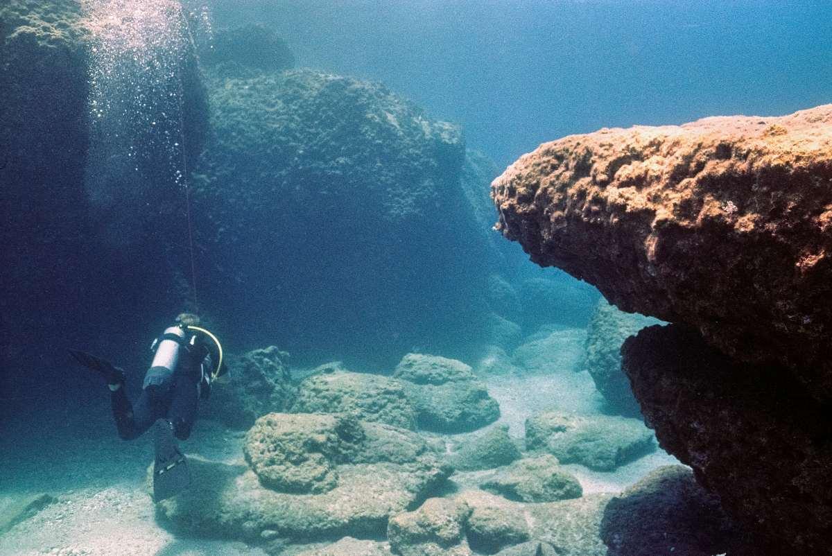
Underwater mountain
However, the mount NOAA discovered in 2024 proved to be unusual and unlike anything ever recorded before. Sitting on the floor of the Pacific Ocean, this colossal mountain is as big as America’s Rocky Mountains. The study was part of the NOAA Ocean Explorer Cruise, designed to map the ocean with high-resolution acoustics. In a press release, scientist Garret O’Donnell revealed that they were aboard the NOAA ship Okeanos Explorer during this expedition, which they call “mowing the lawn.” The expedition unravelled this seamount that was climbing up about 2.6 miles from the deep-sea floor, situated about 250 miles north of Palau, 800 feet below the surface.
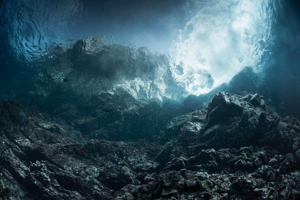
Underwater mountains in Similan Islands
An array of advanced technologies was employed for mapping the seafloor, including the multibeam sonar. The team noted each sonar ping and combined them all to create a map of the seamount. In a stunning, unprecedented detail, the map revealed that the seamount was taller in height than Colorado’s Rocky Mountains, which are 14,440 feet above sea level. Another technology that contributed its services to the mission was “calibration.” While not an actual technology, calibration became an important part of this mission. It is a process of adding markings to an instrument to determine accurate results. During calibration, the known target of the team was a baseball-sized metal ball, a 38.1 millimeter tungsten carbide sphere with a 6% cobalt binder to be exact.
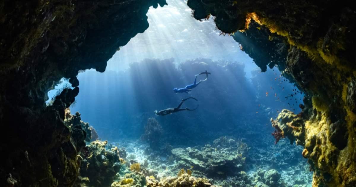
Underwater mountain and Island marine life
The ball was lowered over the side of the ship using three fishing lines, each controlled by a deck-mounted device called a downrigger. Like a dramatic choreography playing in the betraying currents of the ocean, the sphere was moved back and forth at different points to map the sonic readings. The unnamed seamount was concentrated with spindly sponges, rainbow-hued corals, schools of fish, and mineral crusts. Environmental DNA analysis helped the team list these species without seeing them. Bathymetry enabled improved navigation by reducing the chance of surprise shallows or pinnacles near shipping routes.
A woman exploring the deep sea.
“It’s funny to me that were we not actively mapping these features, we would have no idea that a mountain half the height of Mount Everest lies directly beneath us,” O’Donnell explained, ”I can’t help but think about the variety of organisms and geologic features that sit below us, undisturbed and undiscovered. Maybe one day the map we made of this behemoth will be used to navigate the feature with a remotely operated vehicle to get a closer look. I guess we’ll see!”