Officials Plan to Set Fire to Vegetation Around Lake Tahoe This Week — and They Have a Good Reason
Updated Oct. 28 2025, 5:56 a.m. ET

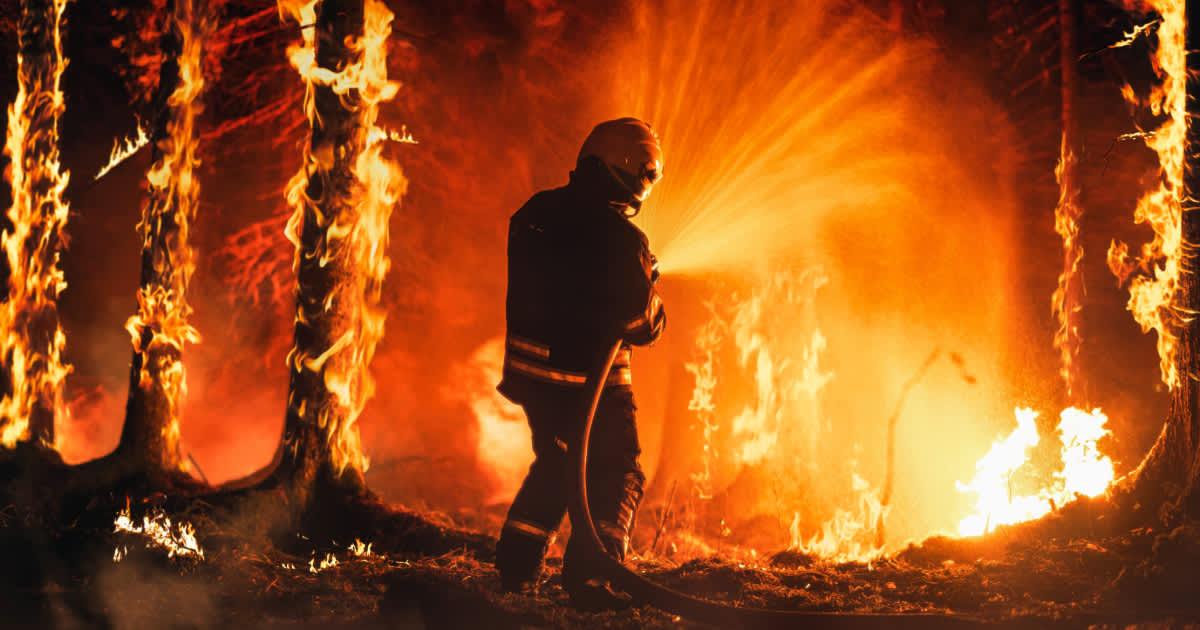
Men setting 'prescribed burns' or 'controlled fires' in a forest
Flanked by the majestic peaks of the Sierra Nevada mountains, Lake Tahoe Basin's vegetative patches and scrublands hide a fiery secret. Underneath and on the surface, these bush-laced grounds are a hotbed growling with a riotous slew of fuel accumulated over decades and decades of fire suppression. Bonfires abandoned by campy tourists, autumnal leafmold collecting on the floor, rotting trees, dead underbrush piles, and drying pine needles; all this material racks up over time, carving flammable pockets within the forest that tend to erupt without warning. According to a press release, the USDA Forest Service officials are initiating a series of smaller, controlled fires in the region to prevent the risk of larger, uncontrolled wildfires from flaring up.
Photographer captured a wildfire erupting in a forest
Here, in the vegetative tree-lined landscape of Lake Tahoe Basin, wildfires aren’t an unusual occurrence. According to the California Tahoe Conservancy, the basin experiences around 40 fires each year, those dramatic out-of-the-blue episodes that not only ruin the habitats of resident wildlife but also disrupt the lives of thousands of locals who live nearby. The objective, therefore, behind the initiation of these controlled fires, a.k.a. prescribed burns, was to reduce the fuel sloshing on the forested floors. The mathematics was that by reducing the fuel, they would also reduce the energy that could trigger fires.
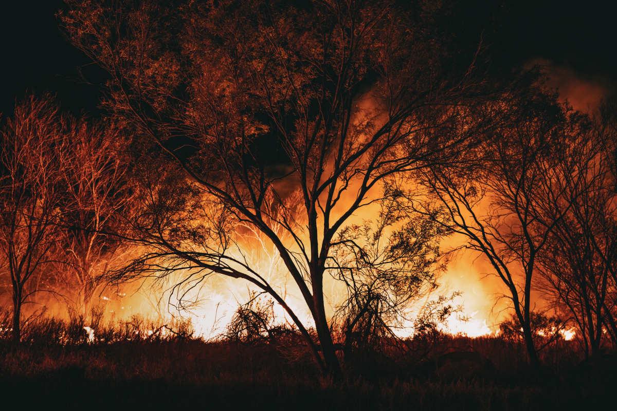
Wildfire in a forest
It’s not just the accumulation of flammable material that is the main catalyst behind the abrupt wildfires. An invisible geometry of environmental conditions like the temperature, winds, humidity, moisture, and snowpack also plays an important role in fanning the agitation of the fuel and prompting it to the point of towering flames that climb to the canopies and swallow up the trees, before quashing the lake’s borderline and understories.
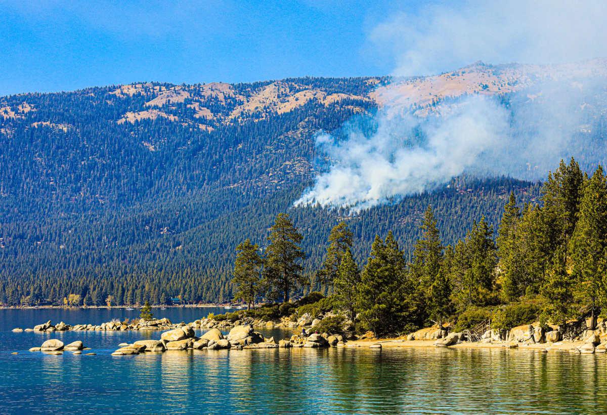
Smoke billowing from a forest fire near Lake Tahoe Basin
The right conditions are very important. Brian Newman, Assistant Chief with Cal Fire, shared on Instagram that fires cannot spawn without the right set of conditions. Newman, who oversees the Cal Fire operations in the Lake Tahoe Basin area, revealed that they look for exactly these right conditions when igniting a prescribed burn. Unique “burning plans” and strategies are devised for each patch, including the “understory broadcast.” The goal behind each plan is “fuel load reduction,” which involves cutting either the brush or the trees to reduce the amount of fuel loading the landscape, enhance the defensive space, and return the nutrients to the soil. Strategizing the controlled fire is even more crucial these days, given the audacity of climate change.
With climate change heating the basin like a pan of smoked herbs, coupled with the copious accretion of flammable material, the grassy patches become devoid of moisture. And while hot winds swirl over these patches, they lift bits of the material or embers from dimming campfires, ultimately sparking off a hullabaloo of intense, monstrous wildfires. To prevent this from happening, officials have planned to set manual, controlled fires in the basin, starting from October 28, 2025.
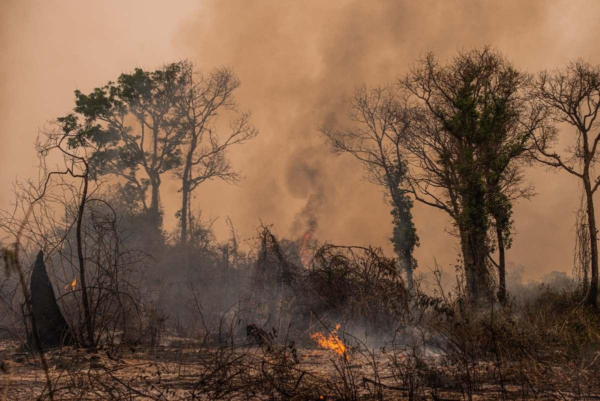
Wildfire erupting in Amazon rainforest
The surrounding areas will remain closed for public safety during the fire ignition episodes. Residents may spot smoke swirling around their houses. Drivers are urged to slow down if they spot signs of smoke hanging in the air, or visit AirNow to check air quality in advance. Following these precautions will help protect local communities, infrastructure, and natural resources from wildfires.
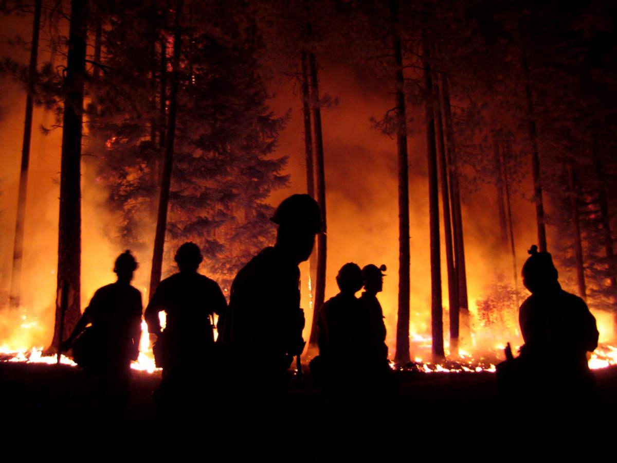
Scene of forest fire with flames lolling and billowing towards the sky and people watching it from a distance
The areas officials are planning to set to flames include Tahoe Hills Urban Lots Rx, El Dorado County, Highway 89, Rubicon Bay, West Shore, Lilly Lake BE01 Rx, Benwood Meadow near Echo Summit, and South Shore. All the respective county emergency management officials will be notified by the Tahoe Fire & Fuels Team Prescribed Fire Map every time a burn is initiated. The burning is likely to continue through the fall and winter seasons, depending on what the environmental and weather conditions allow.