Authorities Warn Millions of Americans To Stay 'Out of The Water' Amid Hurricane Erin Fears
Published Aug. 20 2025, 8:45 a.m. ET

Hurricane Erin at Carribbean Sea as appearing from the view of satellites in space
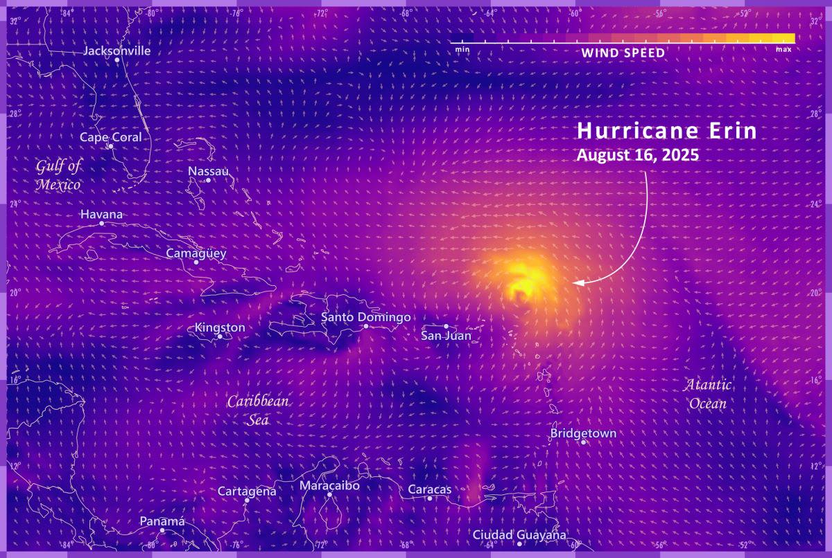
Waters began stirring up on August 11. Before scientists and space agencies could focus their instruments on these waters, Hurricane Erin rose with towering waves reaching for the skies, churning the open waters wild, and flooding the neighboring islands, including the Virgin Islands and Puerto Rico. Under the influence of whiplashing winds swirling at 100 mph, Erin extended 80 miles from its eye and barrelled across the waters with its head set towards North Carolina.
Path of Hurricane Erin as it travelled from central America to North Carolina coast
By August 19, the monstrous stormy winds of Erin had shrunk into a Category 2 storm and were currently headed towards the west, with its eye set on the tropical U.S. beaches. As the region becomes engulfed in its fierce rip currents and vigorous swells, the authorities have warned millions of Americans to stay “out of the water” and possibly leave the area until Erin calms down.
NASA scientists, who strapped some satellites to track and monitor Erin, reported with some images of this monster. These images depict a gigantic milky white blob spreading through the North Carolina part of the Earth’s blue-green arc. On Earth, however, the monster is way too ferocious and has already forbidden America from stepping into the waters. Beachgoers and ocean fans would have to keep themselves engaged by watching nature documentaries on television sets.
CBS News reported the episode of Holly Andrzejewski, who had purchased the bed-and-breakfast at an Atlantic Inn in Hatteras Island with her husband. Their daughter and her boyfriend were the innkeepers. By August 18, the parents made sure that the young innkeepers had ample supplies of generators, extra water, flashlights, and medical necessities, because Erin was roaring wild in the surrounding waters.
"It's just one of those things where you know this is always a possibility, and it could happen, and you just make the best out of it. Otherwise, you wouldn't live at the beach," Andrzejewski told the outlet. Andrzejewski is just one of the residents who are living on eggshells these days after the haunting sightings of Erin clogged up the visuals of news bulletins. Authorities, therefore, have urged Americans to resist stepping inside the waters until Erin subsides in intensity and the rolling waves dissolve back into the sea.
"We are hyper, hyper concerned, first and foremost about complacency, particularly when the weather is really good Thursday afternoon through Sunday, in terms of people sort of thinking about going in the water because these rip currents are brutal," New Jersey Gov. Phil Murphy said in a news conference, per NBC News. "Please, don’t go into the water."
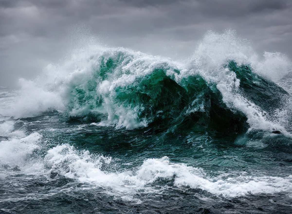
Ocean wates churning wild during a hurricane
According to the original forecast, the storm was predicted to approach east of the Bahamas on the night of August 19 and then move north between Bermuda and the East Coast in the following two days. "Public safety is the top priority," Bermuda’s government said. Ocean Rescue Director Sam Proffitt said in a press release that the swells churned by Erin are triggering powerful rip currents that can create extremely hazardous conditions for beachgoers and those traveling inside the waters. "The safety of our beachgoers is always our top priority, and we urge everyone to follow this advisory."
The National Weather Forecast (NWS) service listed the dangers Erin poses as it whips across the oceans, threatening to spill its floodwaters into the attached villages and islands. “Extreme beach and coastal damage is likely along the oceanside, resulting in a significant threat to life and property. Large dangerous waves will likely inundate and destroy protective dune structures,” NWS wrote, adding that, “Actions will need to be taken to protect life and property. Very dangerous swimming and surfing conditions expected, as well as the wave action resulting in significant beach erosion.”