Why California Weather Officials Are Asking Beachgoers to Stay Clear of Bay Area Shores This Weekend?
Published Nov. 21 2025, 3:05 a.m. ET

A cute girl running away from the shoreline as waves tower to terrifying heights.
On November 14th, a 7-year-old girl was playing on the Big Sur Beach at Garapatta State Park in Monterey County when a party of towering waves dragged her in. Within a few moments, she was swallowed away. The waves gobbled up the girl’s father, too, when he tried to save her. Thanks to her mom’s quick wit and survival instinct, she escaped the swell, as NBC News reports. Nature can be unforgiving, and those who step into the water should be vigilant enough to understand what the waves can do. These days, weather officials in the Bay Area, California, are urging beachgoers to stay indoors and keep a distance from the beach as the waters there could turn aggressive, given the state of the weather, as reported by FOX News affiliate KTVU.
A whiplashing roller is approaching the Bay Area, and as it does, it will trigger a rabble of breaking waves, wild sneaker waves, and intense rip currents, which could threaten the lives of beach visitors. With satellites and skycams studded across the skies of Southern California, weather scientists have collected data that indicates that the beach conditions in this area could turn hazardous by Thursday as seas elevate to terrifyingly high levels.
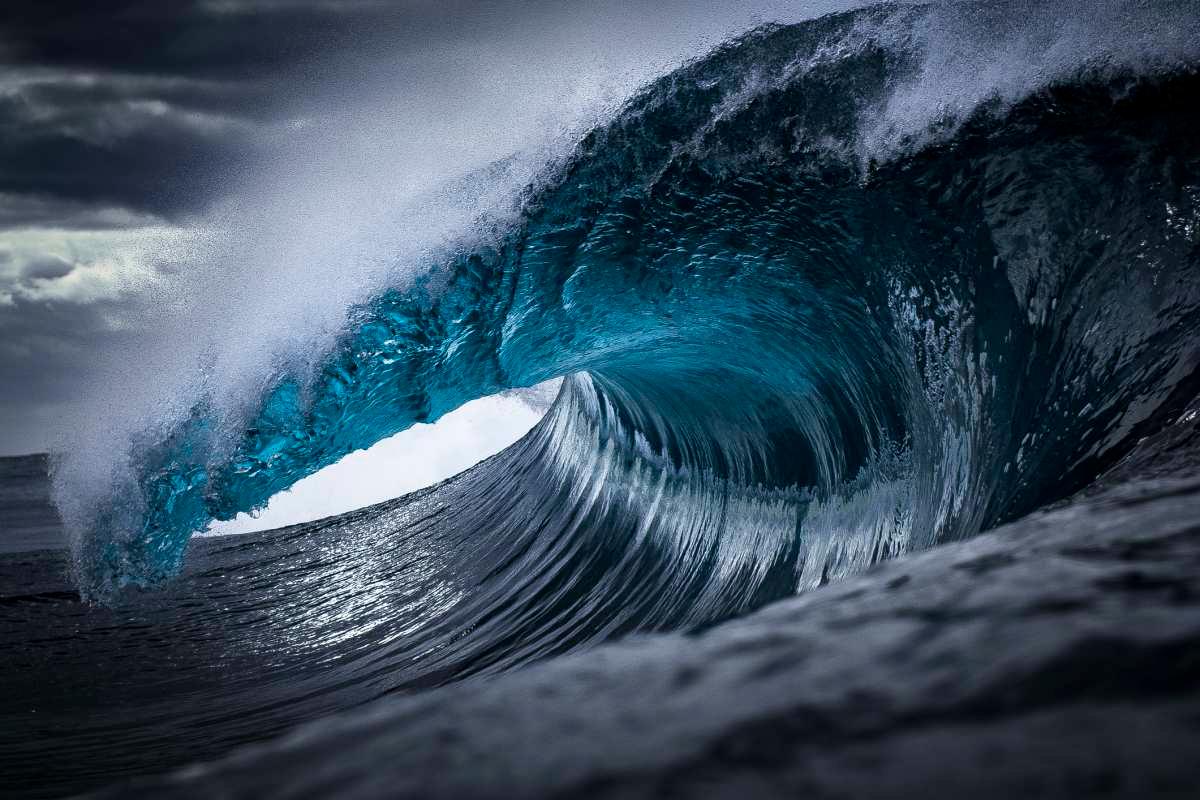
Fluctuating waters form towering waves in the sea during a tsunami
The National Weather Service is warning people to stay away from the San Francisco Bay Area and Pacific Coast beaches, especially between 4 pm on Thursday and 10 pm on Monday. Conversing with KTVU, Monterey County Sheriff's Department Commander Andres Rosas said, "We have a lot of visitors to Monterey County and they are not aware of the power behind the waves it brings.”
The National Weather Service wrote on X, “Heads up! A Beach Hazards Statement will go into effect at 4 PM Thursday and continue through Monday night. There will be an increased risk for sneaker waves and rip currents with breaking waves between 13 and 18 feet expected.” The news outlet reported northwesterly swells along the Bay Area coastline from Santa Rosa to Monterey and everywhere in between.

A woman runs from the waves with her surfboard
In a previous report, a KTVU journalist already warned California residents to be prepared for unstable weather conditions in the coming week. The temperature, she showed in a marine update, appeared to be above fifty in most areas around the Bay Area, with Oakland experiencing the highest at 63 degrees Celsius. Half Moon Bay residents were expected to experience raindrops on their rooftops by Thursday morning and sunny breaks by lunchtime.
On the website, the weather service predicted light, scattered showers in the south of the San Francisco Bay Area on November 15, 12:57 pm. Any lingering showers are expected to end by Thursday midnight. By the time Thanksgiving holiday approaches, the weather will be settling into a quiet, cool pattern. Sneaker waves, the weather service said, can “unexpectedly run significantly farther up the beach than normal, including over rocks and jetties.”
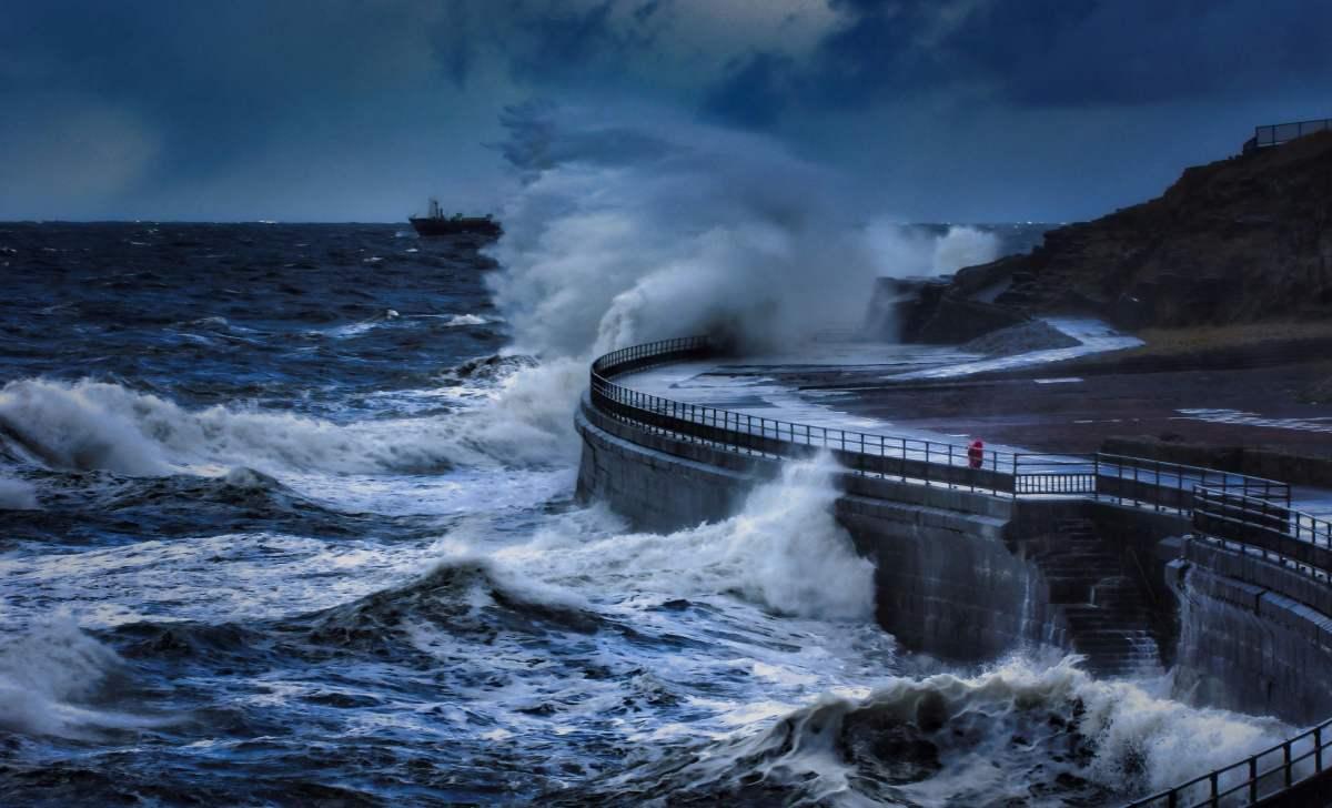
Ocean waves crash on the concrete wall during a tsunami.
The weather service has warned people to stay away from waterside infrastructure and remain out of the water to avoid hazardous swimming conditions. City of Santa Cruz Fire Chief Robert Oatey said, "Throughout the day, it can change. You will have tides that change, and the surf conditions can also change." Water might be the source of life, but when the rest of the conditions twist, it can take a brutal turn, which is why, “Never turn your back on the ocean,” officials say. Meanwhile, the happy news is that cooler temperatures are on tap for tonight, so you can wake up to a cool Friday, probably even venture out on the beach with your morning coffee.