Scientists Map 207 Hidden Volcanoes Buried Beneath Antarctic Ice for the First Time Ever
Published Feb. 3 2026, 7:04 a.m. ET

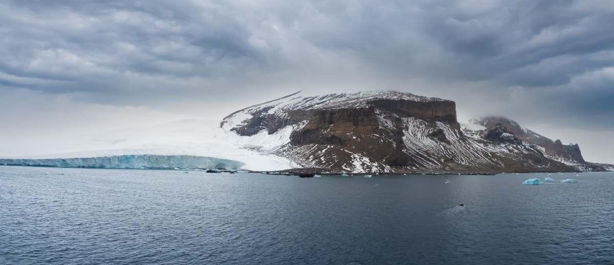
Antarctica Peninsula in the great Southern Ocean
Underneath its quiet, cool, icy-white façade, Antarctica hides a fiery cauldron thronged with hundreds of volcanoes. Little by little, the blazing heat spuming from these volcanoes weakens the stubborn sheets of ice from within. Ice melts. Glaciers ooze and flow towards icy seas, where they disintegrate and fragment into icebergs. And although tons of studies have been conducted to understand the behaviors of these volcanoes, none have nailed a satisfactory catalogue. In a study published in Earth-Science Reviews volume 273, scientists created a “comprehensive identity archive” for the first time, mapping Antarctica’s subglacial volcanoes and documenting how they influence ice dynamics. The archive is called “ANT-SGV-25.”
The study was led by the Polar Research Institute of China (PRIC), Zhejiang University, Fudan University, and the University of Exeter, according to CGTN. The majority of volcanoes are concentrated within the West Antarctic Rift System. The team created an identity archive of 207 subglacial volcanoes.
View of the Brown Bluff, a stunning basalt tuya on the Tabarin Peninsula of northern Antarctica. Formed 1 million years ago by subglacial volcanic eruptions.
Subglacial volcanism is closely linked to the ice sheet dynamics. Researchers used the example of a glacier melt in Iceland in 1996 that triggered a glacial outburst flood, demonstrating that glacial volcanism can pose direct hazards to humans. As the water encounters heat, it melts under pressure and becomes a lubricant for the bedrock ice. Once the ice is sufficiently weakened, it obeys gravity and tumbles towards icy rivers. As it does, it haunts climate scientists with different types of grim possibilities. Sea level rise, for example.
The more mass Antarctica’s ice sheets lose, the more sea levels are likely to rise. And if ice persists in the same behavior, it will soon threaten the very survival of life on the planet. From weather patterns to food security, from marine ecosystems to shipping, everything will be affected. Disastrous floods will erupt and drown small villages. Infrastructure will be crippled and eventually muffled by the bubbly whirlpools of meltwater. Saltwater will intrude into drinking water pipelines. Abrupt storm surges will lash the neighboring regions, probably forcing the residents to evacuate and move to different places.
Icebergs collapsing. Melting sea ice triggered by global warming.
Most previous studies relied on ice-penetrating radar (IPR) and radio-echo sounding (RES) to map this subglacial topography. Additional methods included gravity and magnetic surveys, seismic exploration, satellite imagery, aerial remote sensing, and direct recordings from drilling and borehole logging. But despite a vast suite of tools available, scientists were often left frustrated due to the lack of a systematic understanding of these volcanoes.
The objective of this study was to create the first identity inventory of subglacial volcanoes in Antarctica with details like names, locations, degree of exposure to the atmosphere, type, and morphological characteristics. The newly created archive is an elaborate, multi-dimensional catalogue of volcanic candidates, with details of their most notorious and explosive behaviors and also how they interact with surrounding ice and how this melting influences the ice flow patterns.
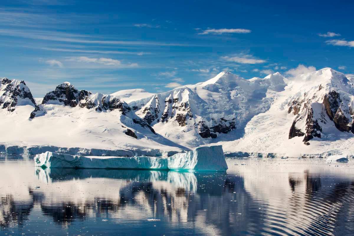
Ice shelf in Antarctica
To curate ANT-SGV-25, the team compiled existing scientific data, obtaining it from the records of the Global Volcanism Program and from a book published by the Antarctic Volcanology Working Group of the International Association of Volcanology and Chemistry of the Earth's Interior. They created a quantitative index system with size, shape, and slope; details like these were registered alongside the identities and names of the respective volcanoes. The heights of the volcanoes ranged from 100 to 13,717 feet, and volumes from 0.23 to 671 cubic miles, basal widths from 0.18 to 36 miles, and a median average slope of roughly 8.1 degrees.
Lead author Cui Xiangbin shared with Xinhua, "Recent research increasingly shows that subglacial volcanoes hidden beneath the massive ice sheet can alter subglacial topography, promote basal ice melting, regulate subglacial hydrological activity, and ultimately affect ice flow dynamics and the stability of the ice sheet."