This Chinese City Chokes With Carbon Emissions as Urbanization Is Dramatically Changing Its Landscape
Published Oct. 14 2025, 9:19 a.m. ET

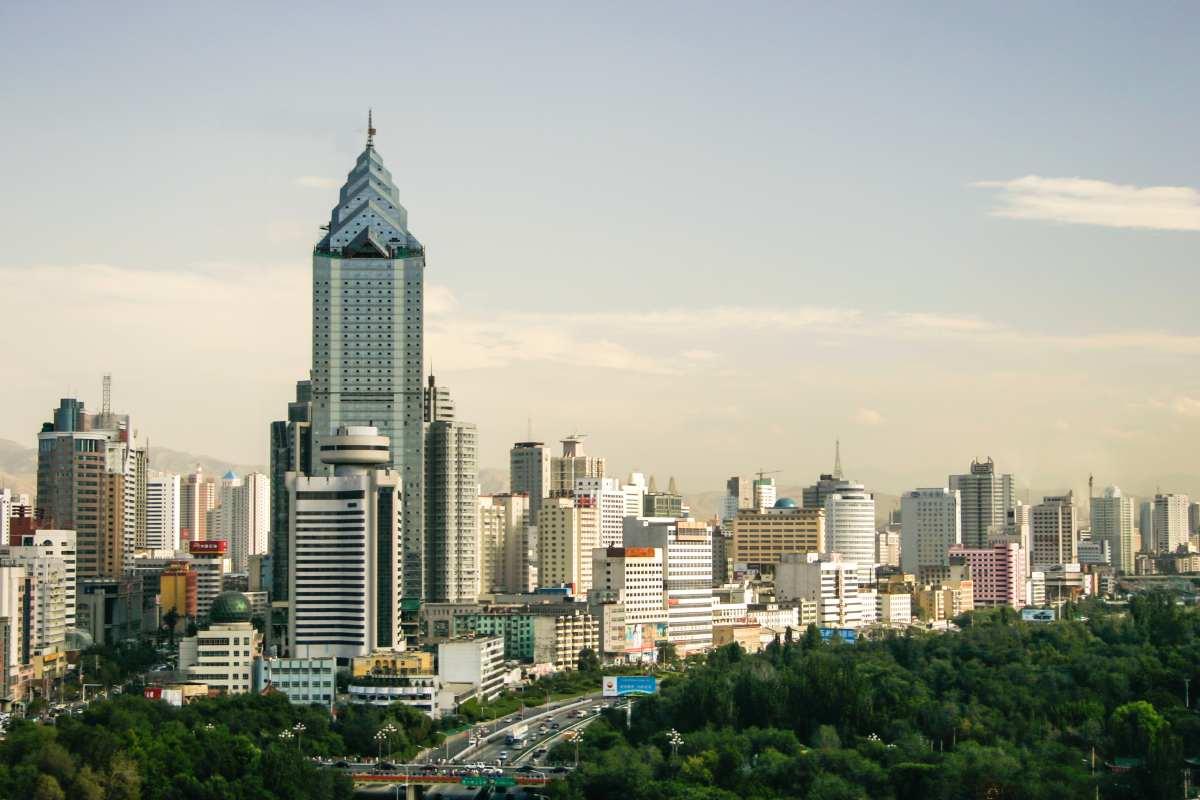
Surreal view of the Chinese city Ürümqi of Xinjiang
"This place used to be very quiet, with few people living a nomadic life. Now we've seen many people coming from outside. The government has imposed a ban on grazing, restricting the growth of animal husbandry," the 86-year-old Aby Johmubay said in a 2017 interview with the CCTV News Video Agency, while plodding along the trails at the foot of the Tianshan Mountains in the Chinese town of Xianjiang. Erhanat Emmamjan always desired to ride horses. Then, he had to settle down on becoming a horse trainer for a local company.
Surreal view of the Chinese city Ürümqi of Xinjiang
In the last decade, the matting of urbanization has inadvertently buried the natural beauty of the region. In a study published in Scientific Reports, researchers documented how this urban sprawl is subtly intensifying the rate of carbon emissions across China and why it matters. Urbanization has engulfed nearly every chunk of the Chinese cities, from Urumqi and Karamay to Xi’an and Beijing-Tianjin-Hebei (BTH) region and Shandong. This urban ornamentation is mainly concentrated in the northern region, while the southern regions lag significantly behind.
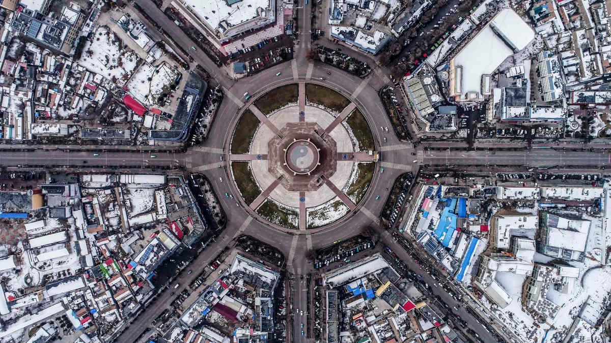
Aeriel view of a town in Xinjiang
But when it comes to carbon emissions, maybe not. Land, which serves as the foundation for human survival, has been dressed up in bibelots of infrastructure that is slowly turning these cities into choking furnaces of carbon-laced smoke. The annual net carbon emissions growth, according to the researchers, exceeded 10%, reaching 1,623 billion tons in 2022. They investigated these carbon emissions to gain insight and a clearer picture of the land use (LU), which will help them optimize the developmental strategies for these land structures. Employing methods like the Land Use Transfer Matrix and the land dynamic state, they analyzed the spatiotemporal changes in land use and carbon emissions in Xinjiang.

Mountain view of the Chinese region of Xinjiang and horse rider
The “Land Use Transfer Matrix” curated between 2000 and 2022 revealed that Xinjiang’s land use has undergone significant structural adjustments. The areas of cropland, forest, water, and impervious have dramatically expanded, while the areas of grassland and barren lands have decreased. Impervious was found to be the primary source of emissions. The emissions are acting like a kick on the domino that is triggering a cascade of transformations. Forests are transforming to croplands, croplands to grasslands, water to barren lands, and barren lands to croplands. The emission center is showing the trend of shifting towards the southwest.
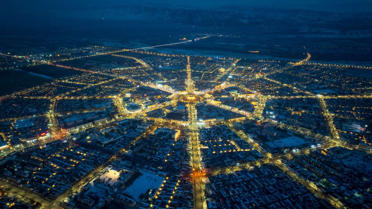
Surreal view of the Chinese region of Xinjiang
To assess the intensity and scale of carbon emissions, the team classified the town into four zones based on economic contribution and carbon emissions: the low-carbon development zone, the carbon intensity control zone, the carbon sink functional zone, and the high-carbon optimization zone. Once the data about these emissions was gathered, they devised custom developmental strategies for each zone. While Xinjiang’s population continues to remain happily bound together like the seeds of its famous pomegranate flowers, the town’s health seems to be disintegrating, burdened by the stress of urban-triggered emissions.
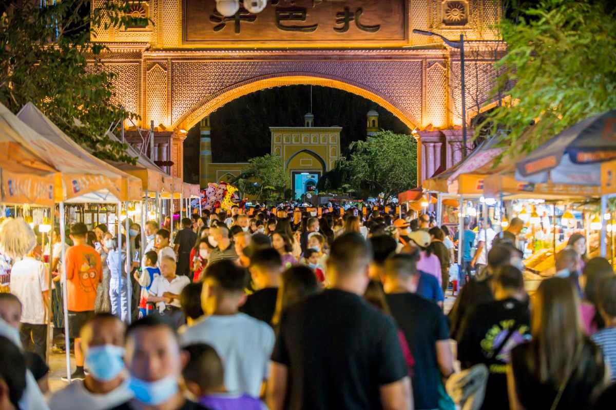
Night bazaar the Chinese city Urumqi of Xinjiang
With the number of carbon sinks decreasing and the number of carbon sources increasing, the current state of the town’s atmosphere poses severe ecological risks and affects the livelihoods of local nomadic people. Plus, the forests and the grasslands have their own thresholds too. If this threshold is crossed, they would start dying, and the town would get engulfed in the thickening mist of carbon. The solution, suggested by the researchers, is to adopt low-carbon planting techniques such as water-saving irrigation as well as low-carbon practices.