A Massive Natural Disaster From the Past Sits Silently Under This Californian Landscape
Published Aug. 26 2025, 1:45 p.m. ET

View of Mount Shasta from the top of Mount Eddy in Northern California.
Sometimes the origins of certain natural formations remain a mystery, with their causes and timing remaining unknown for several decades or even centuries before science uncovers the truth. Even then, many questions linger in people's minds, reminding us how much of Earth’s history is yet to be studied. For instance, in California, one of Earth’s largest natural disasters has been quietly hiding in plain sight. For more than 100 years, the unusual hill-like structures present near Northern California’s Shasta Valley have left geologists confused and searching for answers.
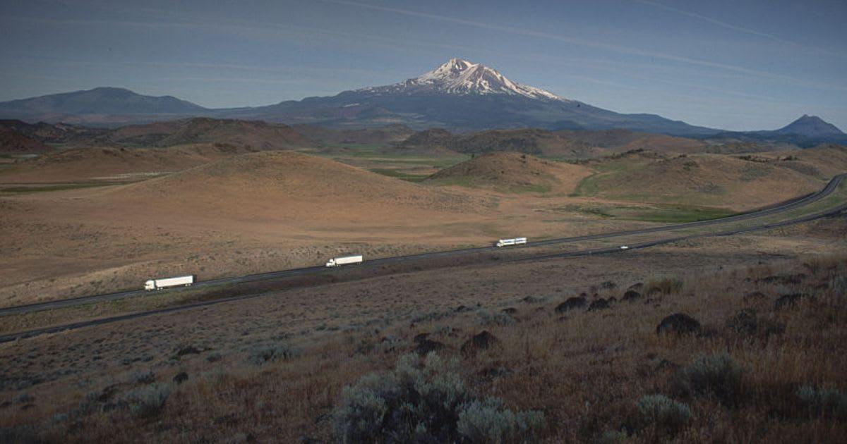
A representative image of the hills near Mount Shasta.
Tourists passing through the Shasta Valley region have long believed that the unusual hills and ridges are volcanic formations or just ordinary landscape features, as reported by SF Gate. However, the rocks scattered throughout the area tell a completely different story, contradicting the belief held for many years. Later on, soon after Mount St. Helens erupted, researchers allegedly solved the mystery by concluding that the valley’s strange terrain was a result of a massive ancient landslide. Geologists have labeled the strange formations as hummocks.
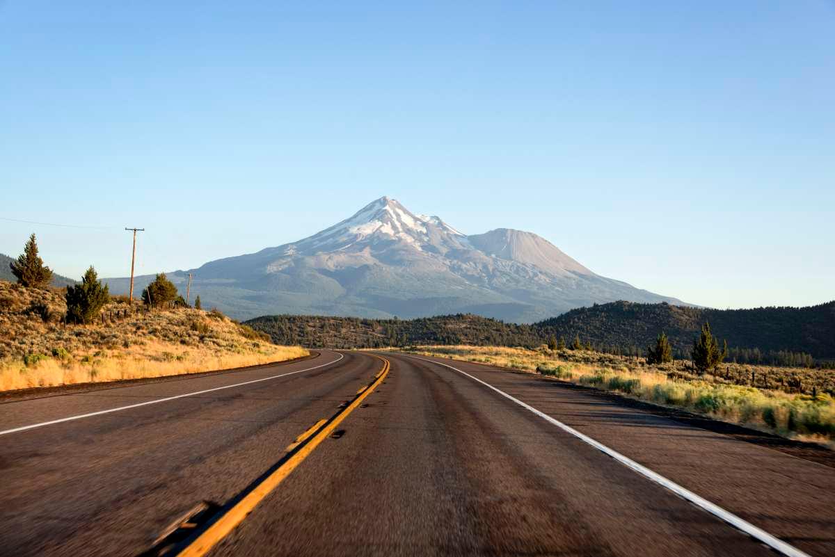
A representative image of Mount Shasta.
The traditional meaning of this refers to the structures created when part of a mountain crashes down in a massive collapse. Phil Dawson, one of the scientists who is in charge of the U.S. Geological Survey’s California Volcano Observatory in Menlo Park, spoke about the region’s dynamic landscape. He said, “That debris flow was recognized to be unusual from the very first time any geologist came across... It’s just an unusual landform.” The expert added, “They [scientists] started looking at the composition of the rocks [found at Shasta Valley], and they go, ‘Well, those are Mount Shasta kind of rocks.’”
However, scientists have remained uncertain about the exact reason that might have triggered Mount Shasta’s collapse, with several possible explanations still under debate. According to Dawson, the collapse may have been driven by a mix of several factors, including intense heat, the weight of glaciers, and heavy snowfall that gradually weakened its structure. Summing everything up, the scientist said, “Terrestrially, it’s one of the bigger landslides that we know of worldwide.” Locals also have their own theories about the hummocks. One story speaks of a battle between spirits Skell and Llao, who hurled rocks at each other’s mountains until Llao’s mountain collapsed into Crater Lake.
The story reveals that the fallen pieces scattered across the Shasta Valley to become the hummocks that we see today. Meanwhile, as reported by the United States Geological Survey, Mount Shasta was formed atop the ruins of a much older volcano that collapsed approximately 300,000 years ago. That ancient collapse triggered one of the planet’s biggest landslides, sending debris across 440 square kilometers of Shasta Valley to the northeast. Over the past few thousand years, Mount Shasta has seen smaller eruptions at its peak and from vents.